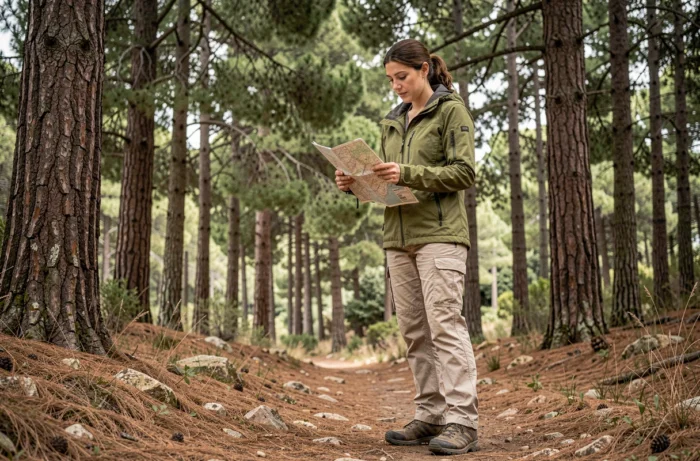
The coordinates 34.307701 and 35.996101 point to Horsh Ehden, a nature reserve perched in the mountains of northern Lebanon. This forested massif is home to rare tree species, including cedars, junipers and oaks, across steep terrain that ranges from accessible trails to challenging paths. Planning a hike in this forest means understanding the terrain, anticipating the challenges of sometimes patchy trail markers, and choosing a route that suits your fitness level.
Horsh Ehden: the terrain and vegetation of a Lebanese forest reserve
Horsh Ehden Reserve differs from European forests in the way several vegetation zones coexist across a concentrated elevation range. Lower areas feature a mix of oaks and Mediterranean shrubs, while the highest zones give way to conifers adapted to the mountain cold.
This diversity makes each stretch of trail feel like a different landscape. On a single hike, you can go from dense, shady woodland to a ridge overlooking the Qadisha Valley.
To get a better sense of the forest at coordinates 34.307701 and 35.996101, here’s a useful landmark: the reserve lies a few kilometres above the village of Ehden, which is itself accessible from Tripoli via the mountain road.
Hiking trails in Horsh Ehden: difficulty levels and route selection
Not all the reserve’s trails require the same level of physical effort. Trail number 8 is described as easy and almost flat, making it suitable for families or a first visit to the site. Trail number 9, by contrast, involves a more demanding climb towards the hamlet of Btelaya, with an elevation gain that puts your thighs and ankles to work.
Your choice of trail determines the day’s logistics. A flat route lasting a few hours calls for little more than a water bottle and sturdy shoes. A high-altitude route with steep sections requires more water, hiking poles and enough time to get back before dark.
Trail markers and GPS navigation in the forest
Trail markers on some routes in Horsh Ehden can be intermittent. Vegetation has overgrown some sections, making it easy to lose your way without preparation. Two precautions can help reduce this risk:
- Download an offline map before setting out, as mobile coverage at altitude in Lebanon is not guaranteed. Apps such as OsmAnd or Organic Maps let you save a map with marked trails.
- Save the GPS track for your planned route and enable real-time tracking on your phone so you can regularly check your position against the trail.
- Consider hiring a local guide for long or less-frequented routes. Someone familiar with the terrain will know the unmarked junctions and the sections where vegetation obscures the trail.
Hikers used to the well-marked GR trails in France should adjust their expectations. The terrain at Horsh Ehden rewards preparation and leaves little room for improvisation.
Lebanon Mountain Trail: connecting Ehden to a multi-day route
Horsh Ehden is more than a collection of day hikes. The reserve lies along the Lebanon Mountain Trail, a long-distance hiking trail that crosses the country from north to south, linking mountain villages, valleys and high-altitude forests.
From Ehden, stages connect to the Qadisha Valley and other mountainous areas. This makes a multi-day trek possible, with overnight stays in guesthouses or with local families in the villages along the way.
Planning a multi-day hike from the reserve
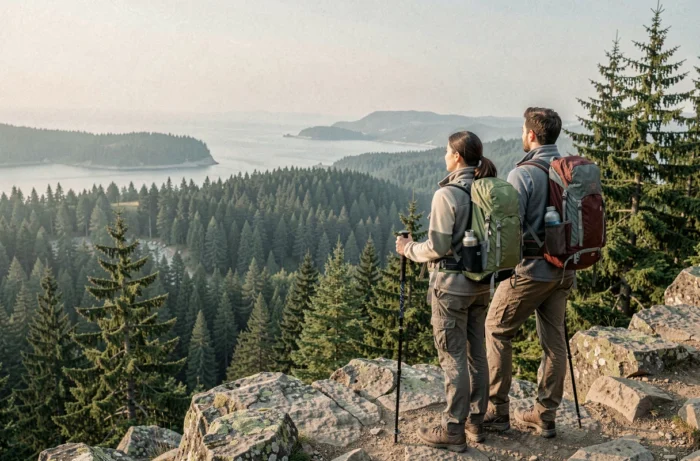
A two- or three-day route starting from Horsh Ehden requires a different kind of planning than a day hike. Your pack will be heavier (spare clothes, food and a first-aid kit), and water becomes a key consideration, as resupply points in the Lebanese mountains are not always marked.
Allowing at least three litres of water per person per day is a sensible baseline for high-altitude stages exposed to the sun. Fountains or springs shown on maps may run dry depending on the season.
Access rules and precautions in a Lebanese nature reserve
Horsh Ehden is a protected area, so specific restrictions apply. Camping, lighting fires, picking plants and bringing animals into the reserve are prohibited. These rules help protect a fragile forest ecosystem, and violations may result in penalties.
Access arrangements (opening hours, any entrance fee and seasonal closures) may vary from year to year. Confirming the details locally before setting out can help you avoid an unpleasant surprise at the entrance.
- Stay on marked trails to limit erosion and protect the flora.
- Take all your rubbish with you, including food scraps.
- Check the weather the day before: mountain storms in Lebanon can come on suddenly and be severe, especially towards the end of the season.
- Tell someone in town about your route, especially if you’re taking a long trail through a less-frequented area.
Hiking in the forest at these coordinates offers a genuine change of scene from typical European trails. The terrain, vegetation and logistical challenges are different, and that contrast is precisely what makes a trip to Horsh Ehden so appealing. Set off with an offline map downloaded, enough water and a clear understanding of the reserve’s rules, and you can turn an uncertain outing into a rewarding, well-planned nature experience.